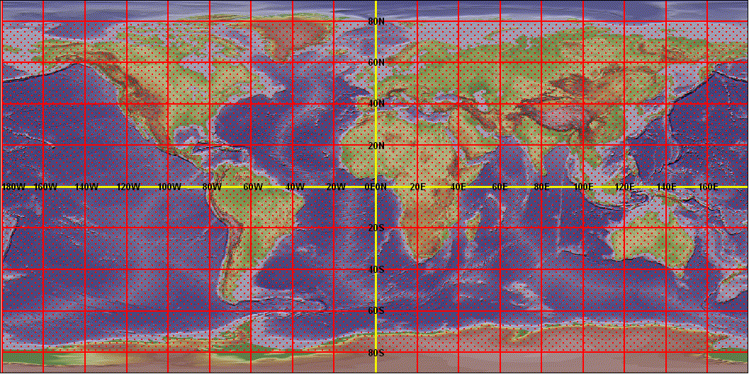
GARS 20°x20° Polygon Shapefile Downloads
Please Click on a 20° by 20° area to download GARS (30min, 15min, and 5min grids). The Falconview drawing files for use in Falconview and Join Mission Planning System (JMPS) are available within each GARS zip file for the same area. These drawing files are also packaged within a zipfile that will need to be expanded before use. For more information, please email us using the contact info at the bottom of the page.

Additional Shapefile Downloads
UTM 1KM Polyline Shapefile Downloads
MGRS 1KM Polygon Shapefile Downloads
MGRS 100KM Polygon Shapefile Downloads